

CCORINTHE Engineering must be able to meet all expectations in terms of design and construction. Accordingly, the company benefits from a state-of-the-art IT infrastructure.

Sbeach
A numerical simulation model for simulating storm-induced beach change.
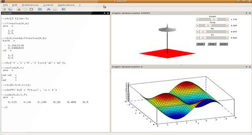
Scilab
Numerical computing software that provides a powerful development environment for scientific and engineering applications.
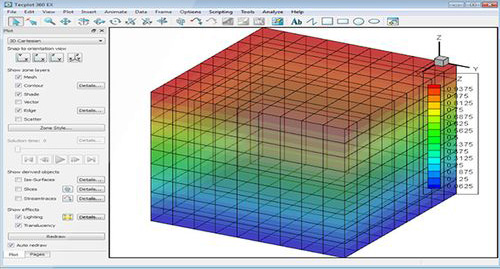
Tecplot
Numerical visualization software adapted to the simulation of computational fluid dynamics (CFD). It allows for 1D, 2D and 3D visualizations from fields derived from structured or unstructured grids.
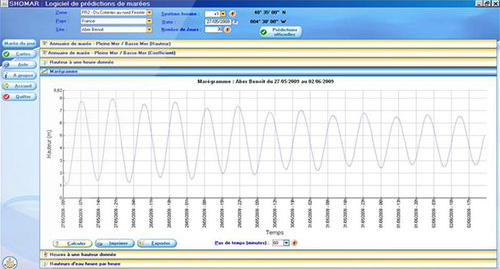
Shomar
Software used to calculate the tide based on harmonic components that fully model the phenomenon. The water heights and tidal times calculated by the SHOMAR software are accurate to within a few centimeters and a few minutes. SHOMAR calculates official tide predictions for French mainland and overseas ports
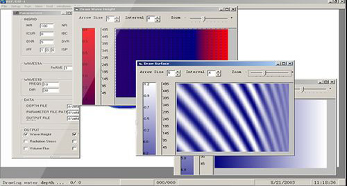
Artemis
ARTIMIS is scientific software dedicated to the simulation of wave propagation towards the coast or into harbors. ARTEMIS solves Berkhoff’s equation through finite element formulation. ARTEMIS models the phenomena.
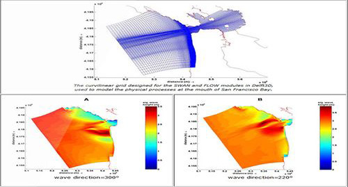
Delft 3D
Fully-integrated 2D and 3D modeling software developed by WL Delft Hydraulics (The Netherlands).
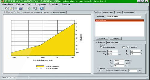
SMC
The Coastal Modeling System (SMC) software was developed by the Ocean and Coastal Research Group (GIOC) of the University of Cantabria (Spain).
GENESIS
(GENEralized model for Simulating Shoreline change): design code intended for numerical modeling coastal changes, developed by the CERC.
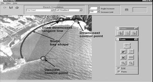
Mepbay
Parabolic model for representing the longitudinal profile of beaches based on Hsu and Evans’ equations (1989).
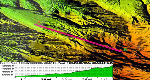
Global Mapper
A cartography tool, with direct access to a host of satellite resources, capable of producing a variety of 3D maps.
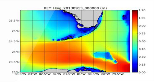
SWAN
(Simulating WAves Nearshore) is a third generation model that generates a realistic estimate of swell parameters in coastal areas and in lakes and estuaries, for a given set of wind, bathymetric and current conditions.
RefDif
Initially developed by Kirby and Dalrymple (1983), RefDif is a wave propagation model for irregular bottoms.
ArcGis & MapInfo
Geographic information systems developed by ESRI (Environmental Systems Research Institute) and Pitney Bowes Business Insight (PBBI). Management, visualization, and mapping tools to investigate and analyze all data containing a spatial component.
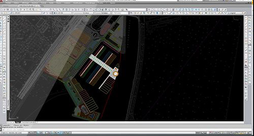
AutoCad
2D and/or 3D computerized drawing software for project study and design.
Covadis
An Autocad software application for topography and project take-offs.
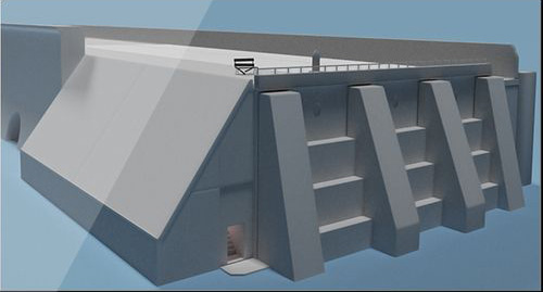
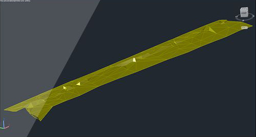
3DSMax
3D animation, rendering and modeling software for project development.
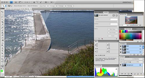
Photoshop
Photo retouching software.
Apilog
Calculation supports, beams, piers, footings.
Strubat
Structural calculations.
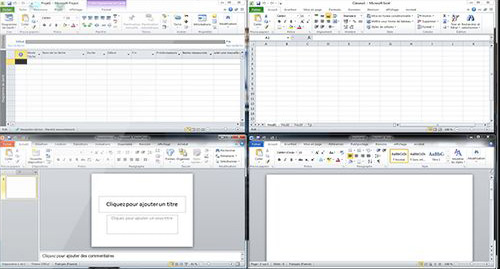
Microsoft Office Pro
Office software for professionals (Excel, Word, PPT, Project, etc.).
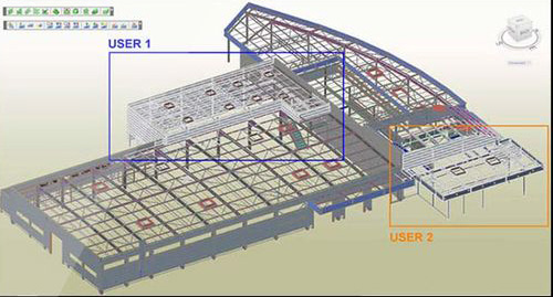
Robot Structural Analysis
Structural finite element calculations and expertise.
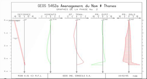
Rido
Calculation of the elastoplastic balance of various walls in the presence of various types of soil.
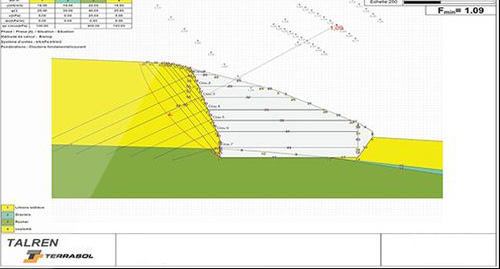
Talren
Geotechnical structural stability analysis (rubble mounds, earthen dams, reinforced underground structures, large anchored supports, reinforced walls, etc.).
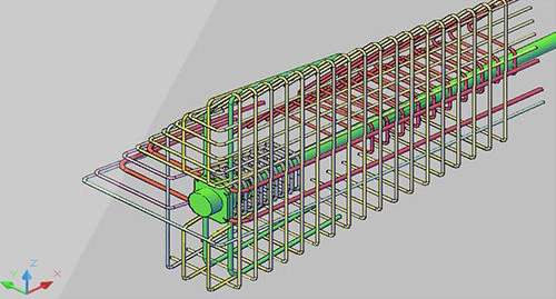
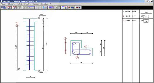
Armacad
For reinforcement drawings.